


Are you Safe to Fly your drone? An airport mapping tool by wickED copters app for iPhone and iPad
Developer: Virtual Edge 4D
First release : 18 Feb 2015
App size: 118.96 Mb
CASA has recently demonstrated that they will prosecute non-compliant users of RPA.
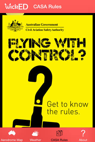
Do you know where you can fly? There are differences for UOC holders operating for financial gain and those flying as a hobby.
wickEd copters is thrilled announce the release of our FREE Safe to Fly App for iOS. The easy to use interface will allow you to easily determine whether you are within the restricted area around airports.
The application also integrates with DJIs updated "No Fly Zones" to inform you if your DJI Phantom, Inspire or A2 will operate as expected. In addition, it includes references to online material for more information on the Airport and airspace.
Primary Features:
1. Works offline (Aerodromes and Filters are stored locally, but can be updated from our web service); External links require internet
2. Search for a venue/location you are travelling too and verify its location with airports in the vicinity.
3. Filter Aerodromes
4. Integrates with Air Services Australia (Detailed Airspace, ERSA), FAA (NOTAMS) and BoM (Weather) as well as links to Wikipedia
5. Includes the CASA Regulations for hobby flying
6. DJI No Fly Zones integration (Airports and regions)
Remember – ignorance is not an excuse! This application has been designed to aid in complying with the CASA regulations and should not be your only source of information. This application may not cover all aerodromes in your area - please contact us so we can add any missing ones.
Please note that the use of some information is limited to Public/Non-Commercial use, for further information please consult the detailed about tab. This application is designed for Australia.